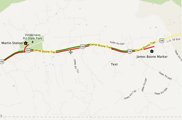
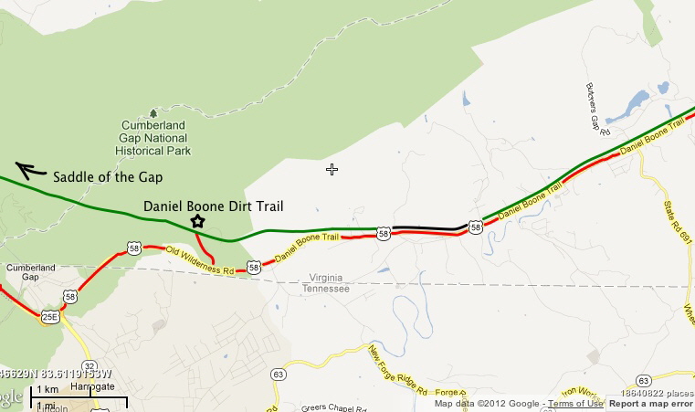
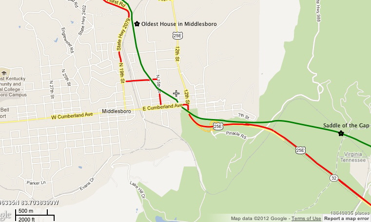
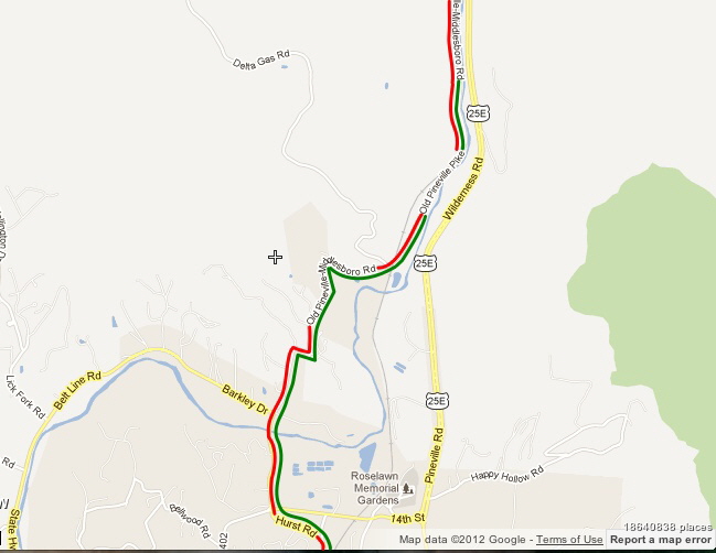
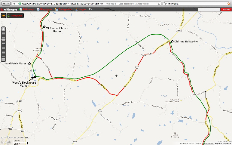
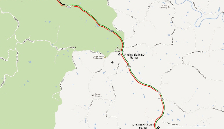
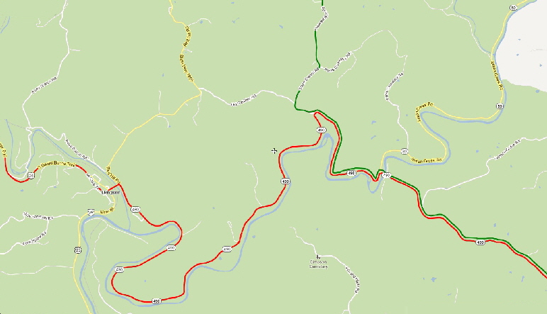
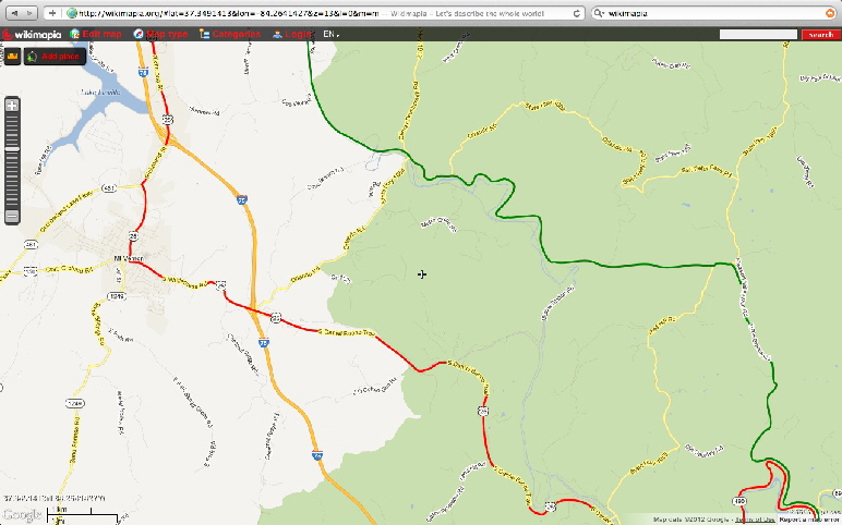
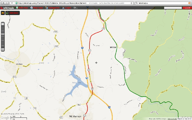
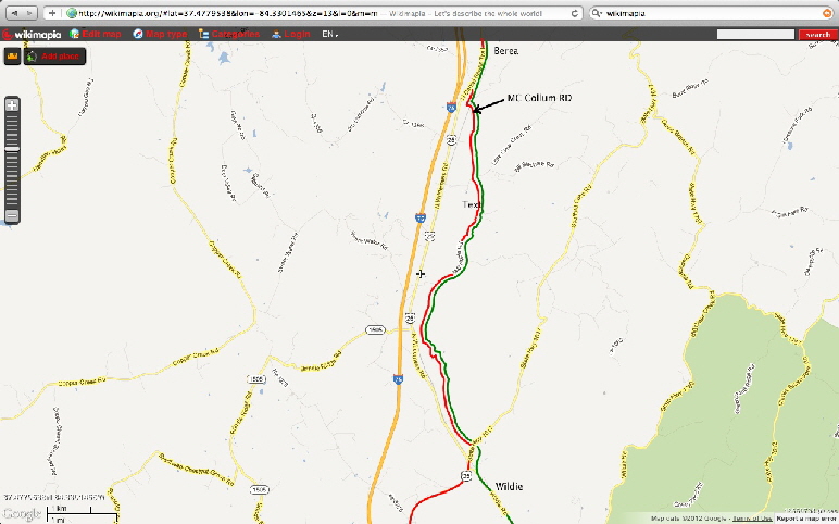
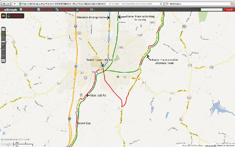
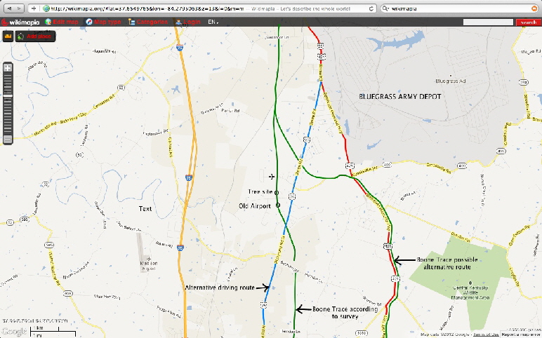
This map shows the general route of Boone Trace starting at Long Island on the Holston River in North Carolina (now Kingsport, TN), passing Martin Station, the final gathering point for settlers before embarking off into the Wilderness, through Cumberland Gap on up through Kentucky to Boonesboro.
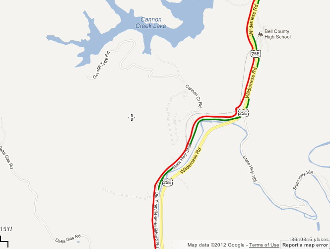
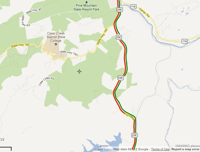
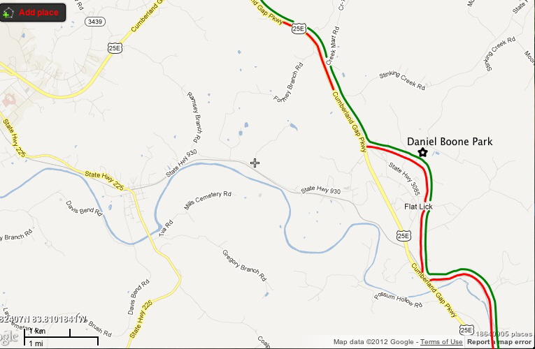
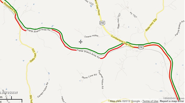
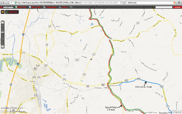
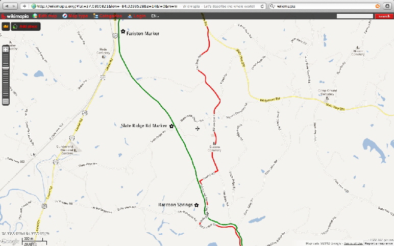
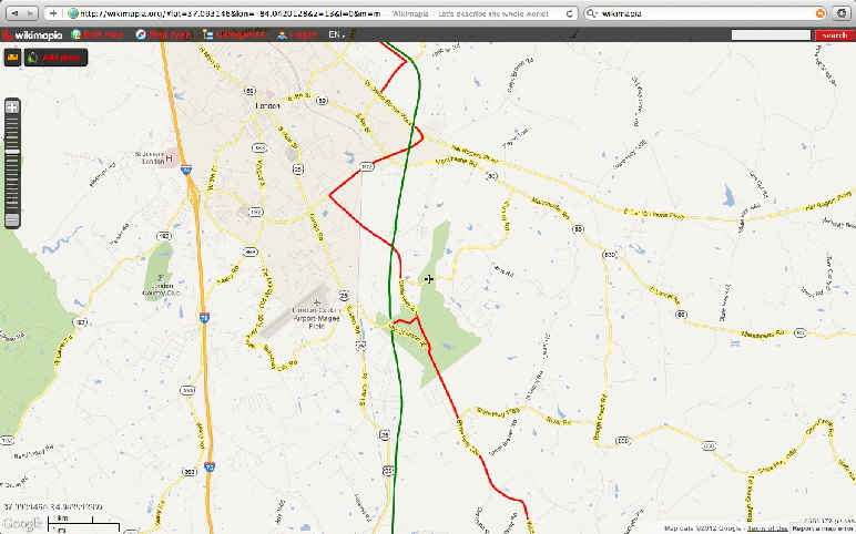
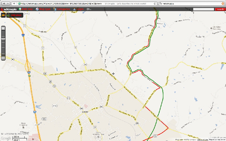
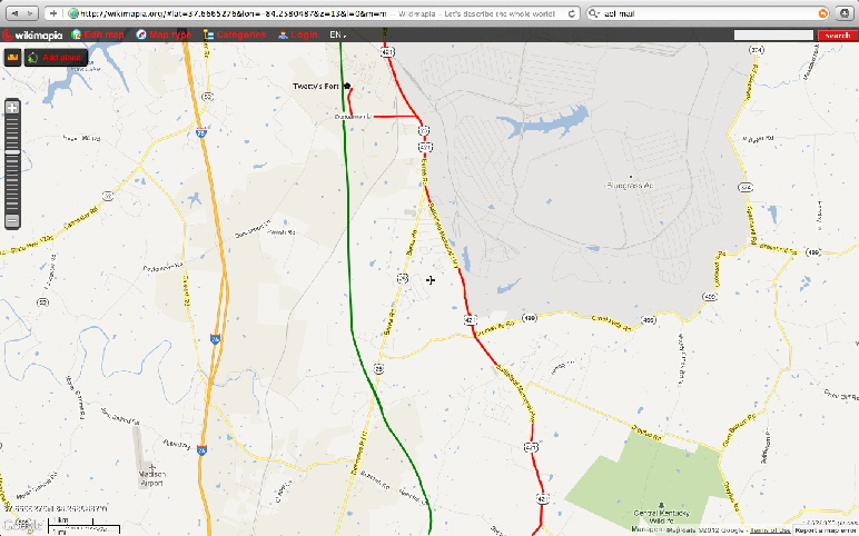
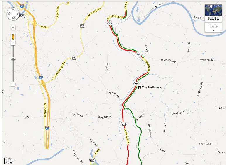
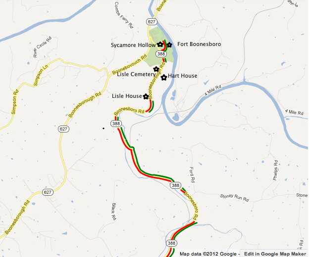
The difficulty in making an understandable route of The Trace to follow is to find a map of proper scale to show enough detail to describe the route without being unwieldy and impractical. The following set of maps is an attempt to accomplish that goal. The original Boone Trace will appear as a GREEN line on the maps, and the "recommended" motorized route will be the RED line. There also will occasionally be an alternate motorized route represented by a BLUE line.
Click Here to Download - Complete Route - (EXE)
Click Here to Download - Stage 1-5 (Martin Station to Cannon Creek) - (EXE)
Click Here to Download - Stage 6-10 (Cannon Creek to Arkle Road) - (EXE)
Click Here to Download - Stage 11-15 (Gray to Hwy 638) - (EXE)
Click Here to Download - Stage 16-20 (Wood's Block House to Mount Vernon) - (EXE)
Click Here to Download - Stage 21-27 (Wildie to Twetty's Fort) - (EXE)
Basic Maps B
Click Here to Download - Complete Route - (PDF)
Click Here to Download - Stage 1-5 (Martin Station to Cannon Creek) - (PDF)
Click Here to Download - Stage 6-10 (Cannon Creek to Arkle Road) - (PDF)
Click Here to Download - Stage 11-15 (Gray to Hwy 638) - (PDF)
Click Here to Download - Stage 16-20 (Wood's Block House to Mount Vernon) - (PDF)
Click Here to Download - Stage 21-27 (Wildie to Twetty's Fort) - (PDF)
We have created two types of downloads, the maps as multiple PDF files. Adobe Acrobat Reader is required to in order to open these maps.
To download this free program please click on the link button below.
This second set of inks are exe files. They need to be downloaded to your computer and then uncompressed into a folder on your computer. If you are unable or unwilling to download these .exe files we suggest you use the pdf files above.

What’s New!


Click on the above to Learn More
© 2016- 2018, ALL RIGHTS RESERVED
Friends of Boone Trace 1775
Website Maintained by Graphic Enterprises
