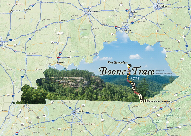
This map is the most user friendly map so far created. It requires Internet access which at times could be somewhat spotty along the trail, but a personal "Hot Spot" often solves the problem.
Be sure and check out all of the features in the Key on the Home Page:
- 1) Clicking on the solid red line will identify the “recommended” driving route to follow Boone Trace using existing paved roads.
- 2) Clicking on the dotted red line will identify the route of the original trace which often will go overland and has to be hiked or traveled on horseback.
- 3) Clicking on the icon for Visitor’s Centers will take you to a National or State Park’s web site and a short video of the park.
- 4) Clicking on the Streams icon will name the stream.
- 5) Clicking on the Historic Marker icon will show a photo of the marker, so you will know what you are looking for, and will give a brief text describing it.
- 6) Clicking on the POI icon will also show a photo of the site with a text.
- 7) The zoom feature can be very helpful allowing more detail of a certain area, or tricky turn, to clarify the route where necessary.
- 8) The Auto Locate feature will show your exact position relative to the route you are trying to follow on the map. Use this in conjunction with the zoom feature.
- 9) The Change Base Map feature will allow you to see the map as a regular streets and roads map, a satellite view or as a topographic map.
The map is very user friendly when you learn how to use all of the features and will allow you to hop in the car with your computer, I-phone or I-pad and easily drive the Trace showing you sites along the way. Enjoy.
Using the Digital Map
© 2016 - 2023, ALL RIGHTS RESERVED
Friends of Boone Trace 1775
Website Maintained by Graphic Enterprises


